UN
34 Ringmore Way
£ 90,000
Description
We don't have a Description for this property.
- Bedrooms
- 2
- Bathrooms
- 0
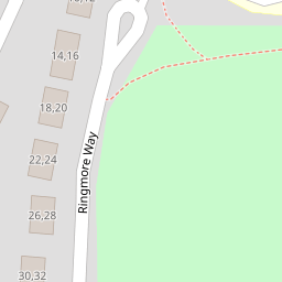
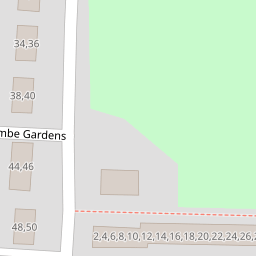
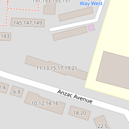


Leaflet © OpenStreetMap contributors
The heatmap indicates the level of crime in the area. The color of the heatmap indicates the crime severity and recency.
Metrics Year-on-Year
- Average area value
- 220,976.00 £Increased by 11.12 %
- Average area rental value
- 989.00 £/moIncreased by 15.54 %
- Est rental Yield
- 5.37 %Increased by 3.87 %
- Crime Rate
- 6.00 %Unchanged by 0.00 %
from 198,868.00 £
from 856.00 £/mo
from 5.17 %
from 6.00 %
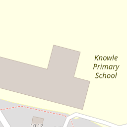
Nearby Schools
| Name | Type | Ofsted | Distance |
|---|---|---|---|
| Knowle Primary School | Academy Converter | Good | 0.20 KM |
| Sure Start Four Woods Children'S Centre | Children's Centre | 0.32 KM | |
| Mill Ford School | Community Special School | Good | 0.57 KM |
| Ernesettle Community School | Academy Converter | Outstanding | 0.68 KM |
| Brook Green Centre For Learning | Community Special School | Outstanding | 1.16 KM |
Images
Nearby Streets
| Name | Average Price | Average Sqft | Distance |
|---|---|---|---|
| Kinsale Road | £ 0 | 0 | 0.00 KM |
| Marldon Close | £ 130,000 | 0 | 0.00 KM |
| Carbis Close | £ 131,250 | 0 | 0.00 KM |
| Horsham Lane | £ 0 | 0 | 0.00 KM |
| Clifford Close | £ 200,000 | 0 | 0.00 KM |
Nearby Transport
| Name | NLC | TLC | Distance |
|---|---|---|---|
| St Budeaux Ferry Road | 3590 | SBF | 2.72 KM |
| St Budeaux Victoria Road | 3592 | SBV | 2.73 KM |
| Keyham | 3571 | KEY | 3.15 KM |
| Dockyard (Devonport) | 3588 | DOC | 3.79 KM |
| Devonport | 3579 | DPT | 4.08 KM |
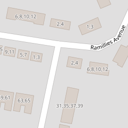
Nearby Listings
| Address | Price | Type | Score | Distance |
|---|---|---|---|---|
| Ramillies Avenue, West Park, PL5 2NU | £ 100,000 | BUY | 7 / 10 | 0.04 KM |
| Ramillies Avenue, West Park, PL5 2NU | £ 240,000 | BUY | 7 / 10 | 0.04 KM |
| Ramillies Avenue, West Park, Plymouth | £ 270,000 | BUY | 7 / 10 | 0.08 KM |
| Ringmore Way, Plymouth | £ 210,000 | BUY | 6 / 10 | 0.17 KM |
| Princess Avenue, Higher St. Budeaux, Plymouth | £ 260,000 | BUY | 7 / 10 | 0.17 KM |
Nearby Properties
| Address | Price | Distance |
|---|---|---|
| 20 Ringmore Way | £ 205,000 | 0.00 KM |
| 10 Ringmore Way | £ 120,000 | 0.00 KM |
| 34 Ringmore Way | £ 90,000 | 0.00 KM |
| 24 Instow Walk | £ 115,000 | 0.17 KM |
| 18 Instow Walk | £ 170,000 | 0.17 KM |